
Deer Park ZIP Code Coverage
USPS destination-label material identifies 77536 as the primary Deer Park postal ZIP. That makes it the practical first filter for a Deer Park address, but it does not certify that every address with that label is inside city limits. The nearby 77571 label belongs to La Porte in USPS material and matters as adjacent, southeast postal context. The reviewed sources did not supply a parcel-by-parcel postal intersection for that ZIP, so it should never be converted into a blanket Deer Park label.
| ZIP | Areas Covered | Post Office | Notes |
|---|---|---|---|
| 77536 | Primary Deer Park postal area | USPS preferred postal city: Deer Park, TX | Start an address check here, then compare the parcel to city limits. |
| 77571 | Adjacent and southeast postal context near Deer Park and La Porte | USPS postal city: La Porte, TX | Do not normalize all 77571 addresses as Deer Park. |
The current USPS address lookup is the place to verify a standardized address and its ZIP+4. Use the result as mail-routing evidence. It is not a city-incorporation record, a property title record, or a roster of people at the address.
USPS ZIP Code Lookup provides the address-based postal check used before a parcel search.
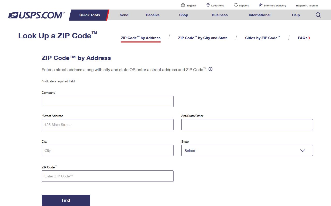
Use the exact returned mailing form rather than guessing from a nearby postal label.
Deer Park ZIP Code Postal Context
The USPS destination-label table distinguishes Deer Park 77536 from nearby La Porte 77571. That distinction is useful when sorting an address list or reading a document that supplies only city and ZIP. It still leaves one important local question open: whether the particular parcel is within Deer Park, a neighboring municipality, or unincorporated Harris County.
USPS temporarily suspended operations at the Deer Park Main Post Office on January 25, 2023 after storm damage. Retail and PO-box service moved to a La Porte location during that event. The USPS service notice records a temporary service arrangement, not a permanent ZIP reassignment. A post-office location is therefore a poor substitute for a municipal-boundary check.
Note: No official Deer Park-specific ZIP split or realignment year was located in the reviewed materials.
Deer Park ZIP Code Search Fields
HCAD's advanced real-property form accepts a five-digit ZIP Code field. Pair it with street and range fields rather than expecting a ZIP-wide result to identify a household. HCAD describes an appraisal-property universe. Its owner field and mailing address are useful leads, while recorded instruments from the County Clerk remain the source for a deed-chain confirmation.
| HCAD field | Format | Use with a Deer Park ZIP search |
|---|---|---|
| ZIP Code | Optional five digits | Set the postal filter before adding address detail. |
| Property Street Name | Optional text, street name only | Use the street name and the similar-street option when appropriate. |
| Beginning Property Street Number | Optional number | Set the low end of an address range. |
| Ending Property Street Number | Optional number | Set the high end of that same range. |
| Owner Name or Legal Description | Optional text | Add only when the street and ZIP return too many parcels. |
The HCAD advanced search also offers subdivision, value, square-footage, school-district, neighborhood-number and map fields. HCAD limits a search to 3,001 results. Split a broad ZIP result by street number range, subdivision, school district, neighborhood number, or map facet when necessary. Search help also recommends partial street forms and recognizes that a site address can differ from a mailing address.
Find Deer Park Parcels by ZIP Code
A ZIP filter works best as a narrowing step. The following sequence keeps the postal label, parcel data, and municipal map in their proper roles. It does not turn an appraisal search into a resident list.
- Enter the complete address in the USPS lookup and preserve the city, ZIP, and ZIP+4 exactly as returned.
- Search HCAD by ZIP, then add the property street name and a beginning and ending number if the result set is broad.
- Record the account, site address, legal description, and site-city information from the selected parcel.
- Open the Deer Park GIS parcel layer and compare its address fields and map point with the city-limits layer.
- Use the legal description in the Harris County Clerk index if the question requires recorded property instruments rather than appraisal data.
Once a ZIP result narrows to a street, the Deer Park street directory has the fuller address-by-address record method. The ZIP filter alone cannot establish who currently lives at a property.
Deer Park ZIP Code Result Limits
HCAD returns appraisal records, so the result should be read as a property set. A large ZIP search can include parcels whose postal label is Deer Park while their municipal status needs a GIS check. HCAD's help also notes that an address search is not a map-engine geocoder: try partial street names, alternate street-word forms, and ranges when an exact form fails. A site address may also be absent or differ from the mailing address.
For each useful result, preserve the 13-digit real-property account without spaces or hyphens, the site address, the legal description, and the search date. HCAD's public card may show owner and mailing-address fields, state class, land and building information, neighborhood information, map references, value status, exemptions, and jurisdictions. It does not supply a Deer Park household roster. The HCAD disclaimer also says appraisal data is not title data and does not provide tax collection or delinquency information.
A result cap or an absent site-address hit should lead to a narrower, documented search, not a conclusion about an address. The County Clerk's recorded index and the city GIS are the appropriate next layers when the question requires an instrument trail or municipal geometry.
Deer Park ZIP Code Map Fields
The municipal parcel layer exposes fields that make a postal comparison more precise: acct, SiteAddress, SiteCity, SiteZip, Subdivisio, yr_impr, building and land areas, appraisal values, and precinct. These are parcel attributes, not a list of residents. The account field is especially helpful for keeping the GIS point tied to the HCAD result.
Deer Park GIS is the municipal entry point for the map layers used to compare parcel context and city geometry.
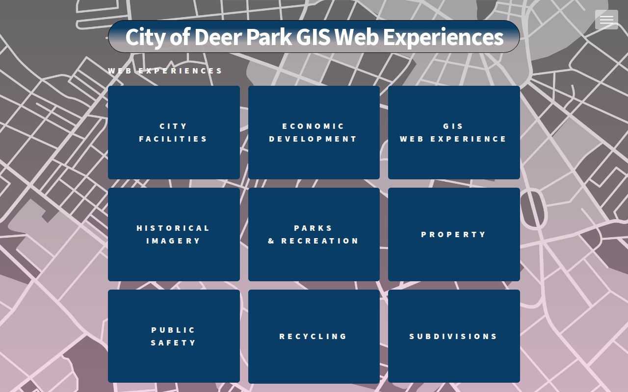
The GIS entry point supports a map check after USPS and HCAD have supplied the postal and parcel details.
Deer Park ZIP Code Record Trail
Postal data, appraisal data, and recorded land records form a useful sequence because each one carries a different identifier. USPS standardizes the delivery address. HCAD connects that location to an account and legal description. The Harris County Clerk real-property index can then be searched by grantor, grantee, subdivision or description, instrument type, date, and legal-description fields. A ZIP value can help begin the search, but it is not normally the durable key for a recorded instrument.
Where the postal and parcel fields disagree, preserve both rather than choosing one by intuition. Record the exact USPS result, HCAD SiteCity and SiteZip, the account, legal description, and city-limits result. This simple record trail makes it possible to revisit a result after a portal refresh or a boundary question. It also avoids overstating what a postal label means about Deer Park jurisdiction.
ZIP Code Terms for Deer Park
Mailing terms are easy to overread. The USPS ZIP Code basics explain the delivery role of the code and the extra precision of ZIP+4. None of these terms draw a city-limit line or prove municipal jurisdiction.
- ZIP versus ZIP+4
- A ZIP is the five-digit delivery code. ZIP+4 adds four digits to refine delivery for a more specific address segment.
- PO-box ZIP
- A PO-box ZIP is used for mail delivered to post-office boxes and does not describe a geographic city boundary.
- Unique ZIP
- A unique ZIP is assigned for a single recipient or organization. No Deer Park example was verified in the reviewed sources.
- Carrier route
- A carrier route groups delivery stops for mail service. It is not a municipal district or a resident roster.
USPS ZIP Code basics supplies the postal definitions behind the address comparison.
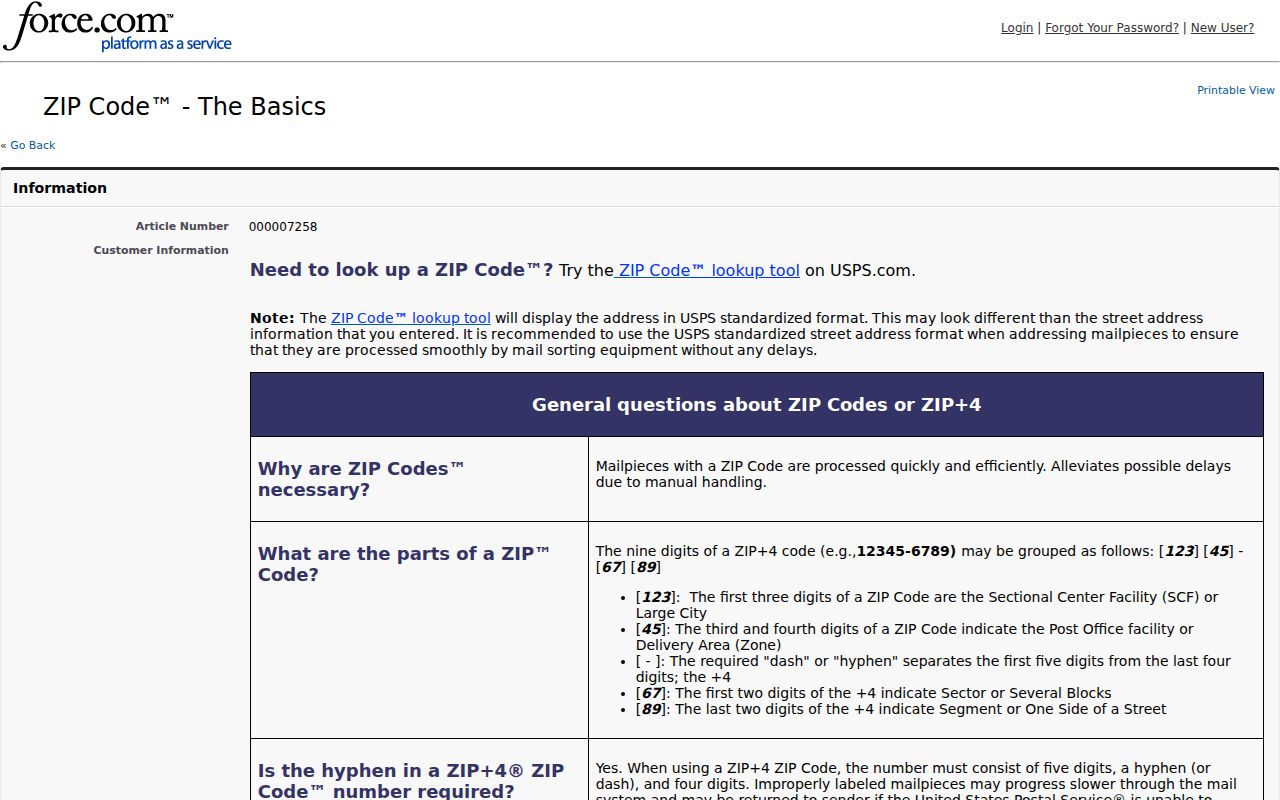
Postal terminology helps describe delivery, while the parcel and city-limits layers answer the geographic question.
Deer Park ZIP Codes and City Limits
For a municipal result, query the Deer Park city-limits service with the parcel rather than relying on the postal city alone. The city FAQ gives Highway 225 to the north and Underwood Road to the east as coarse orientation cues. Those cues help a reader understand the area, but the polygon is the better record-level check.
If a parcel has a Deer Park postal label but falls outside the municipal polygon, describe it as a postal Deer Park area, unincorporated Harris County, or an adjacent municipality only when the official map supports that description. For an address that will not resolve, no public Deer Park address-assignment or E911 lookup was located. A written request to the city route should identify the parcel and legal description instead of asking the custodian to create an address history.
Note: ZIP results are delivery data, so record the source and date whenever a search result is used for a local reference.