
Trace a Deer Park Street Directory
A bounded street range produces a more defensible Deer Park street directory search than an unbounded name query. Begin with the site address in HCAD, retain its account and legal description, and compare the parcel geometry in the map viewer. The account and legal description make it easier to match the same property across records even when an older document uses a different street form.
Ownership and occupancy are different. An appraisal account may show an owner and mailing address, while a deed identifies parties to a recorded transaction. Election material, historical directories, or a dated public record may add a separate association with the address. None supplies a complete present household roster.
- Search HCAD by street name, address range, ZIP, or account.
- Open the result in the HCAD parcel viewer or the Deer Park GIS parcel layer.
- Record the site address, account, subdivision, and legal description.
- Search the County Clerk by grantee, grantor, subdivision, or legal-description fields.
- For a past address, compare maps and directory sources with the document date.
Deer Park Street Directory Fields
HCAD’s advanced form is the primary street-range tool for Deer Park. It accepts a property street name, beginning and ending street number, ZIP, owner name, legal description, key map, map facet, and several property filters. Use the street field without a house number first, then add a range to narrow a long road. The help page advises trying alternate spellings, numbered-street forms, and partial names.
| Search control | By-address use |
|---|---|
| Property Street Name | Street text and alternate forms |
| Beginning / Ending Number | A specific segment of the road |
| ZIP Code | Five-digit postal narrowing |
| Legal Description | Subdivision or block terms |
| Owner Name | Confirmation after a parcel is found |
| Key Map / Map Facet | Extra geographic filtering for ambiguous results |
The HCAD advanced-search form displays the field set. HCAD limits a search to 3,001 records, so a broad street or ZIP search may need to be split by number range, subdivision, neighborhood, school district, or map facet.
HCAD’s parcel viewer is the map counterpart for the Deer Park street directory and accepts full or partial addresses, accounts, and owner names.
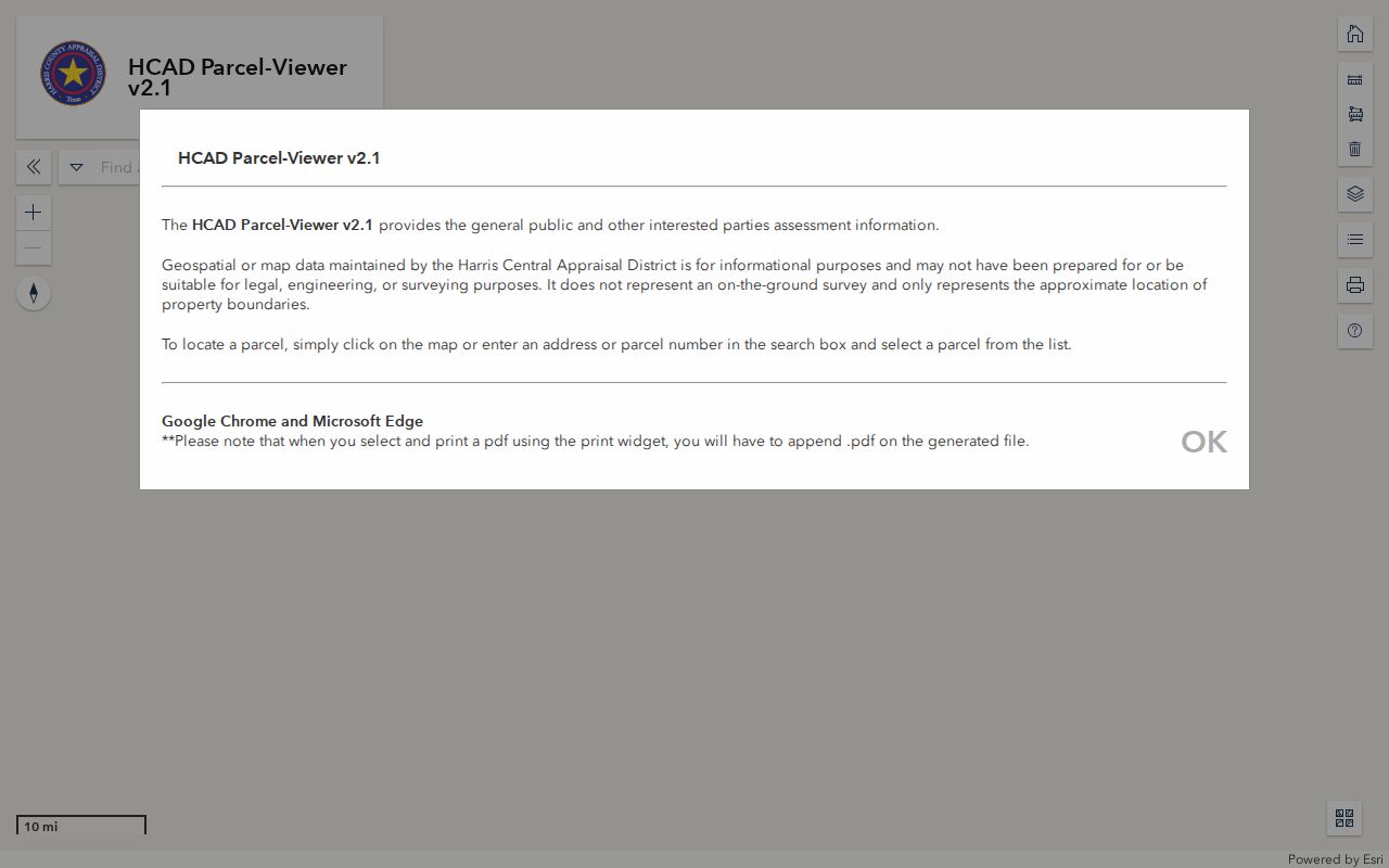
The viewer highlights a parcel and opens its map context, but its boundaries are approximate and are not a survey.
- Parcel
- A mapped property unit tied to a county account.
- Situs address
- The physical property address, distinct from a mailing address.
- Plat
- A recorded map that can show lots, blocks, or subdivision layout.
- Criss-cross directory
- An address or telephone index that may point to a dated name when a volume exists.
Deer Park GIS Street Context
The city’s GIS parcel layer contributes fields that HCAD users can compare: acct, SiteAddress, SiteCity, SiteZip, subdivision, improvement year, areas, values, precinct, and map geometry. This makes it useful for grouping parcels along a street and for checking the account against a property record. The data is property and map context, not a people list.
Use the city-limits layer before describing a parcel as within Deer Park. The primary Deer Park postal ZIP is 77536, while nearby 77571 carries a La Porte label. A postal label or an HCAD site ZIP does not settle municipal status. Compare the parcel geometry with the official city-limit polygon.
The Deer Park parcel REST layer publishes the parcel fields used in a street-by-street check.
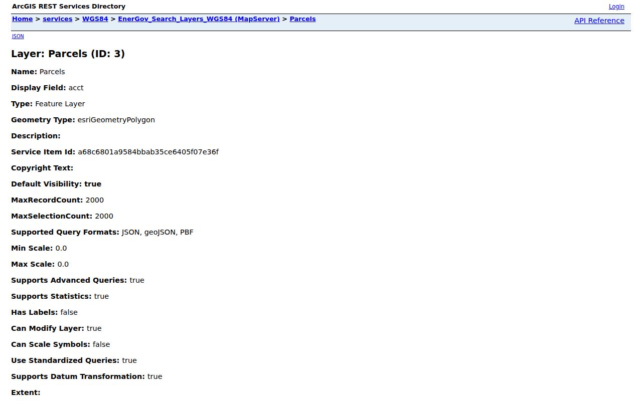
Compare the layer with the city-limits and zoning service before assigning a municipal label to an edge-area address.
Deer Park Street Directory ZIP Checks
Use postal data as one field in a Deer Park street directory search, not as the final location label. USPS can standardize a delivery address and return ZIP or ZIP+4. HCAD records a site ZIP, and the municipal layer records SiteZip and SiteCity. Those values can be compared, but the Deer Park city-limits polygon is the better municipal check.
The USPS explains that ZIP codes serve delivery routing. They do not establish a legal city boundary. For an edge-area address, save the USPS response, parcel account, site ZIP, and GIS boundary result as separate findings rather than choosing one label without support.
USPS address lookup supplies the standardized postal step before the county and city map checks.
Deer Park Streets With Older Names
Historic street work needs the address as recorded, not a guessed conversion. City history identifies Luella, P Street, and X Street as surviving original street names. It also states that West Avenue became Center Street. Those details can explain why a deed, directory, or newspaper search fails when it uses only the present street form.
No authoritative Deer Park street-number renumbering schedule was located. Keep the old wording, modern address, source date, subdivision, legal description, and parcel account in the same research notes. The legal description is often more stable than a street spelling.
The City of Deer Park history documents the street-name lead. It should be paired with the current GIS map and a recorded instrument before an address is treated as the same property.
Note: An older rail stop, rural route, or postal convention can be a location clue, not a modern street-address match.
Deer Park Street Records by Address
Each address-keyed source answers a different question. HCAD associates an account and property fields with a parcel. The city GIS layer locates that parcel. The County Clerk provides recorded instrument history. City permits may document property work, but the public CSS landing page did not expose a verified field list or full historical coverage. Election records have their own statutory restrictions and dated context.
| Address record | Custodian | Street-level value | Fallback |
|---|---|---|---|
| HCAD appraisal account | HCAD | Owner, site, mailing, legal description | HCAD data or written request |
| Parcel and city-limit layers | City GIS | Geometry, city/ZIP, subdivision | City GIS or City Secretary |
| Recorded deeds and plats | Harris County Clerk | Parties, date, legal chain | Historical warehouse or microfilm |
| Permit records | City CSS / department | Property work trail where available | Targeted city request |
| Election material | Harris County Elections | Dated lawful roster context | Election records request |
For the complete current-property chain, use the Harris County Clerk Real Property search after matching the HCAD account and legal description.
Deer Park Deed Chain by Street
The Clerk’s index lets a Deer Park street directory search move from a parcel to recorded instruments. It offers grantor, grantee, date, subdivision or description, instrument type, volume, page, and lot or block fields. Start with the newest recorded deed, read its legal description and prior-reference language, then search the previous grantor as a grantee. Repeat the steps backward only while the description matches.
The county says online images begin November 1, 1960 and records usually appear one to two business days after recording. Work before that date may need historical warehouse records, books, microfilm, or an in-person copy route. Watermarked images are available after free registration; copy and certification choices are separate.
This is a property-history method. It can identify recorded parties and a timeline, but it does not establish all people who lived at an address. The Deer Park previous residents page follows that backward address trail in more detail.
Deer Park Permit and Request Records
Deer Park’s Citizen Self-Service portal says permits can be applied for, searched or tracked, paid, inspected, and printed. Its public landing page did not expose verified address-field labels or a historical-retention scope. Avoid claiming that every permit is visible from a blank search. Use an existing permit number, address, date range, or legal description when approaching the portal or the city.
For records not displayed online, send a written Public Information Act request to the responsible city department. Ask for an existing permit log, plan, address-specific correspondence, or record range. The city can clarify an overly broad request and does not have to create a new block or street roster.
Use the Deer Park CSS portal first, then the city open-records route when a documented existing record is needed.
Deer Park Street History Maps
Maps help explain a street’s changing setting, but they do not identify an occupant. The Texas State Library and Archives Commission index lists Deer Park map items for 1939, 1952, 1961, 1972, 1983, 1989, and post-1980 material. Deer Park Library also lists Texas Digital Sanborn Maps among its research databases, though a verified Deer Park sheet or year was not located in the reviewed sources.
Compare a dated map with the present city map book, the GIS roads layer, and the parcel’s legal description. This can separate a historic street reference from a modern address or show why a subdivision term is more useful than a road name.
The TSLAC Deer Park map index supplies the verified date ladder for this research.
Deer Park Street Directory Limits
A Deer Park street directory can show property associations and dated public records. It cannot show every non-owner occupant, visitor, utility customer, delivery customer, or protected resident. Motor-vehicle records are controlled by the federal Driver’s Privacy Protection Act, and Texas voter, court, vital, and address-confidentiality rules also protect specific information.
Use a city or county index to locate the right custodian, then preserve redactions and record limits. A title, appraisal, permit, voter, or directory role is not interchangeable with residence. When the aim is a historical directory entry rather than a property chain, the Deer Park city-directory collections are a separate, dated source.
Note: The safest result labels the source type, record date, and the limited fact it actually supports.